


WWW.AQWGY.NET
Geographic Terrain Model Making
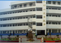
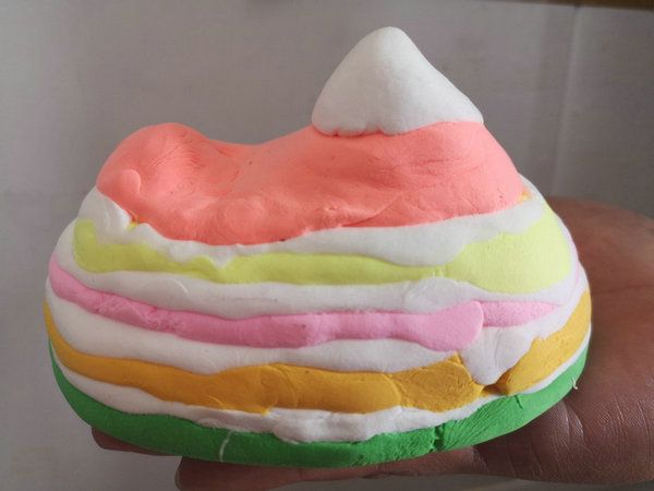
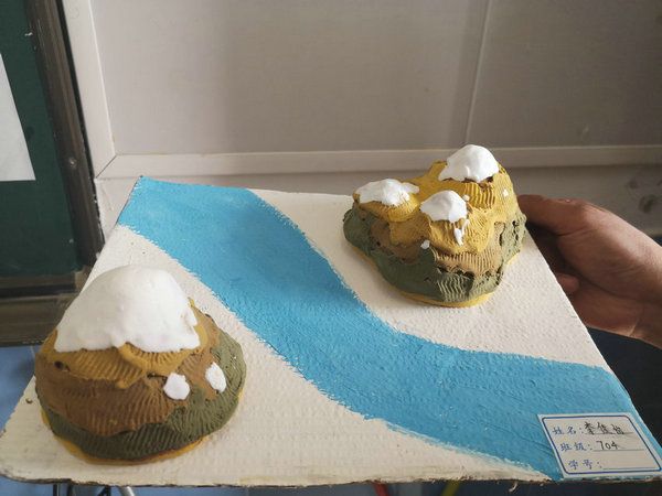
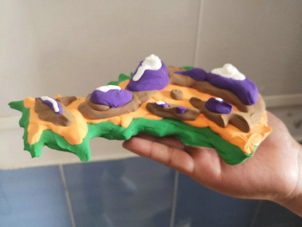
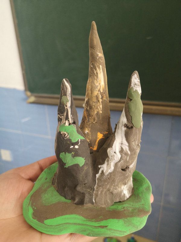
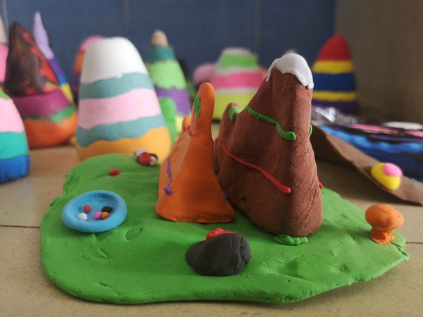
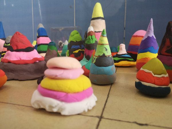
In order to practice the cultivation of the core quality of geography in compulsory education, Anqing Foreign Language School carried out the activity of making the geography and terrain model in the seventh grade.
To be exact, in this activity, the teachers conducted careful guidance and students displayed active participation, which truly reflected 'Interest is the Best Teacher.'
Without interest in geography learning, there would be no atmosphere for geography learning and there would be no effect of geography learning as well. Thus, by attracting students with interest and mobilizing students' desire for knowledge from passive learning to active learning, we can truly achieve the effect of teaching through lively activities.
In a nutshell, through the production of the geographic terrain model, students mastered the basic principles of contour map drawing in the hands-on operation, understood the interpretation of contour terrain position names of valleys, ridges, steep cliffs and better practiced the cultivation of the core quality of geography in geography classes. Therefore, the practical activities in geography classes can help students apply the knowledge of geography to life practice and better cultivate their geographic practice in the meantime.


CORYRIGHT © 2011 WWW.AQWGY.NET. ALL RIGHTS RESERVED